April 9-10, 2022
In mid-April we drove back north on NM 285 past the village of Pojoaque and turned onto Route 503, aka “Nambe Road,” aka “High Road to Taos Scenic Byway,” Along this road was the Trail Head and parking area for hikers heading into the Nambe Badlands.

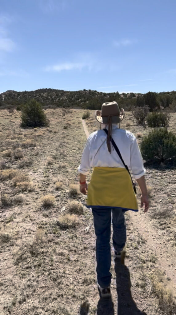
We would not be hiking to the badlands today. Instead, we parked on the opposite side of the road, where Pete and Patricia would set off on a short two-mile hike following the “Cholla Gauntlet Trail,” and bypassing a stretch of the narrow and busy High Road. Peter and Lindsay drove ahead to our designated pickup spot on “Cerro Piñon Road.” On this hike we laid down one of the first tracks on our adventure trek, which would come to be known as “The Donkeyshoe Trail.”

Our trail ended at a wire gate in the fence line along Cerro Piñon Road.
We had some lunch and then continued north on the High Road. We drove past the landmark San José de Gracia Church in Trampas and then onto “Forest Road 012,” where we turned right and headed into a forested region of Carson National Forest. FR 012 soon exits National Forest land and becomes “Upper Ojito Road,” meandering through an area of grassy fields and small farms to a spot where it crosses Chemizal Creek.

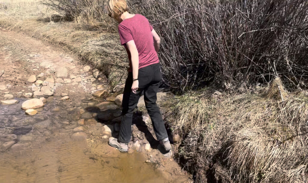
The water was flowing but not too deep. As we were contemplating driving across the creek, someone came from a nearby lane and asked if we were “going over the mountain?” We explained we were looking for a backroads route to Llano and Peñasco, and he confirmed this would connect, but cautioned the road was quite rugged.

In future trips back to this region we would refer to the area as “going over the mountain!” Just beyond the creek, “Upper Ojito Road” becomes “El Camino Publico De Picuris” as it enters Carson National Forest again and begins a rocky and winding climb up and over a high ridge.
Lindsay’s 4W-drive Subaru could handle it ok. We drove across the creek, wound our way up the very rocky road until we crested the ridge. And right about then we were stopped by police and fire personnel, who had blocked the road. They were in the middle of trying to track down and catch a “person of interest” who had reportedly stripped off all his clothes and was setting nearby fields on fire. Yes, really. Eventually they determined it was safe for us to continue. We drove through the tiny crossroads town of Llano and on to Peñasco, on roads we had explored in our first expedition.
We spent the night in Taos, New Mexico. Pete and Patricia stayed at the Hotel La Fonda on the plaza in Taos, while Peter and Lindsay stayed with an aunt and uncle who live on the outskirts of town.
The next day we explored an area of woods south of Taos and east of Picarus Peak, which holds a network of rough roads and trails used primarily by ATV and motorbike enthusiasts. We drove in from the South on a road called “Telephone Canyon,” also known as “Forest Road 469.”
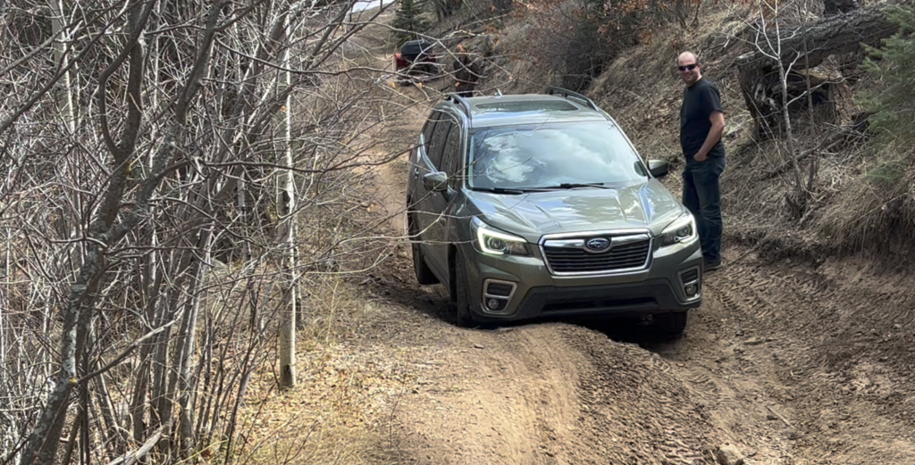
Eventually the Subaru met its match close to three miles in on a deeply rutted stretch, and we could go no further. Wheels off the ground!

Leave a Reply